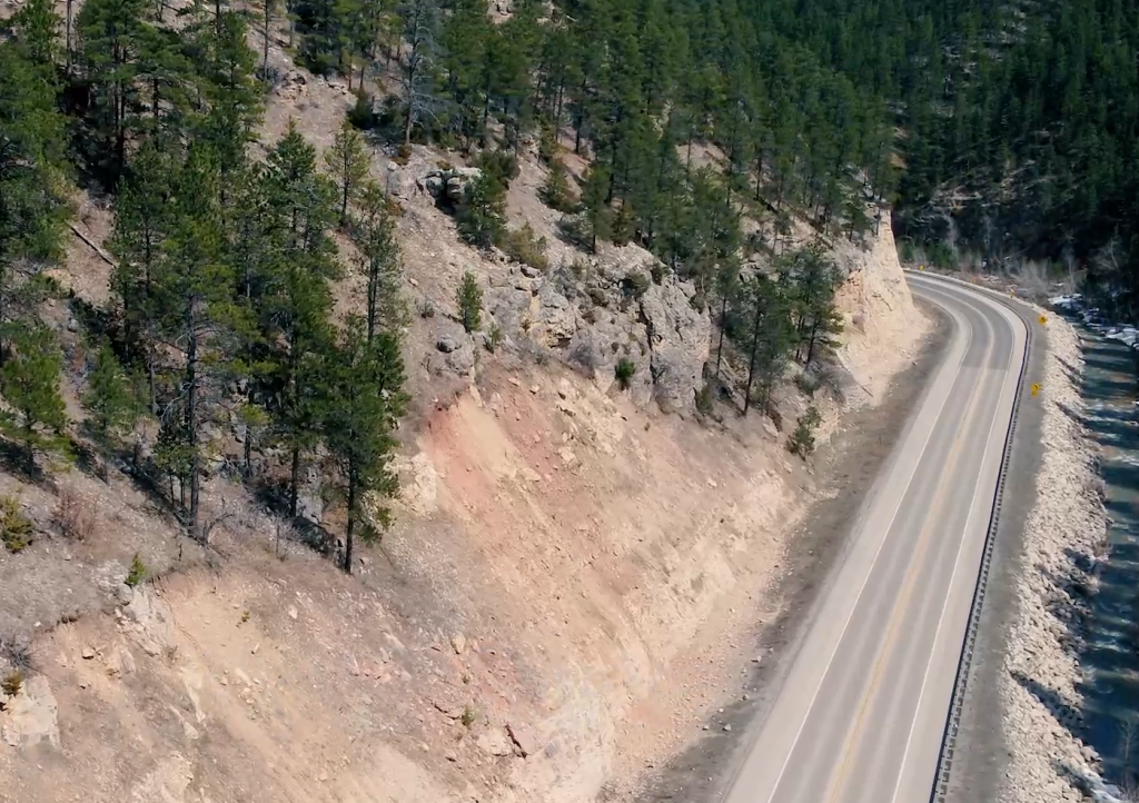
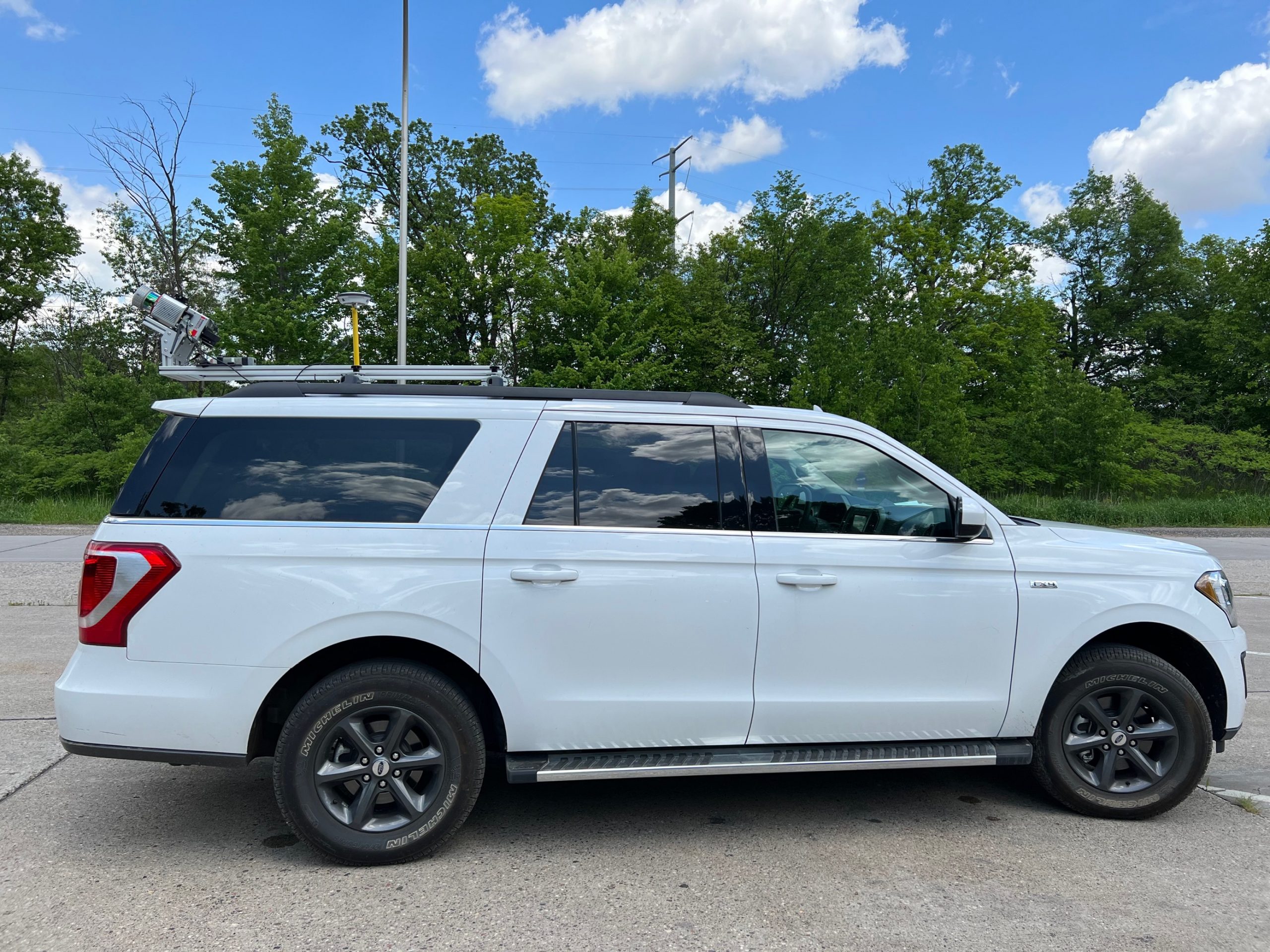
SkySkopes deploys the Ranger HA (High Accuracy) LiDAR system for mobile mapping projects. This system meets some of the most challenging survey projects by its measurement and INS/GNSS performance. The Ranger HA can scan 360 degrees while providing a very high pulse repetition rate.